Hi everyone,
I'm new to this whole environment. I'm looking for any pointers that help to develop a visualizer of civil work.
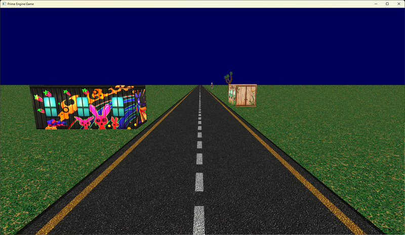
My idea is to create a 3D road of X miles long, and in that road there are restaurants, phones, lamps, car washes, etc. Anything.
My goal is to have a #D visualization of this road and be able to scroll through that road. But also have a list, or a menu, with everything that is available on that road (the restaurants, etc.) And once a select any of them, the visualization moves automatically to that location. Being able to pan rotate and zooming. But the default camera is static all the time, unless you move it.
Any pointers where can I start? I'm resourceful in Blender to make all the assets, but have no idea how to export those to an engine like Unity or Unreal to make things happen.
Thanks everyone.
Any advice is very welcome!
Sergemx73